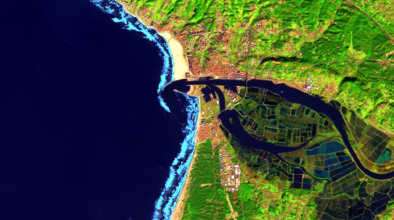
Shoreline monitoring is one of the services from Coastline Watch, being developed in partnership with geomatics engineer Dr. Gil Gonçalves, and aiming at detection, extraction and monitoring of coastal shorelines using open data (Landsat-8 and Sentinel-2).
Although the shoreline definition is not consensual (as it depends from each country) it is typically defined by the average level of ocean waters. Therefore, obtaining it from satellite requires a processing chain not only for line extraction but also for adjusting its position based on tidal height at acquisition time.
Our current extraction methodology uses MIR, NIR and Green bands to detect water and then digitize its boundaries.
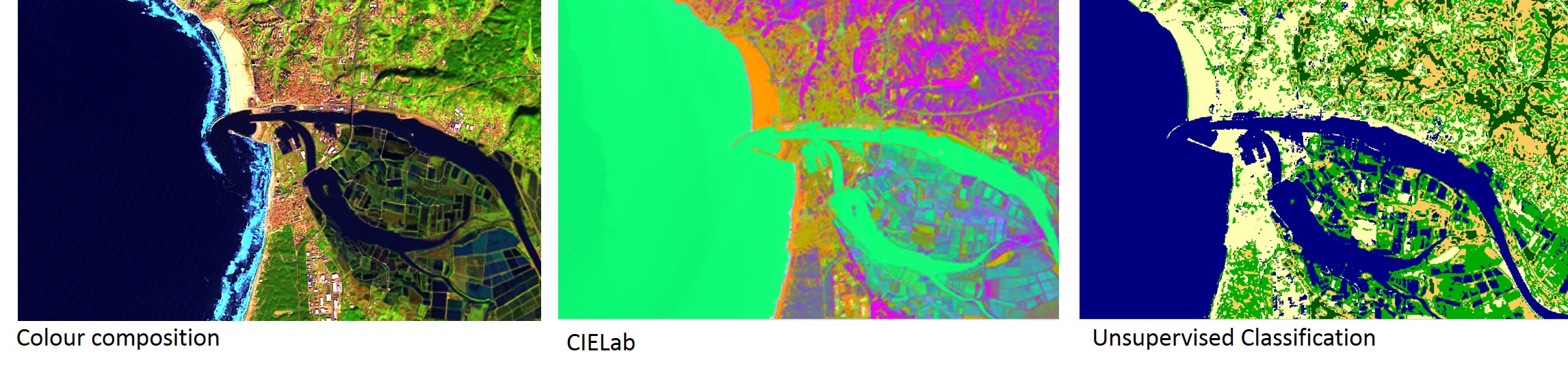
The preliminary results obtained from Landsat8 with 15 meters spatial resolution lead to two major analysis benefits: the historical an trend evolution of the shoreline and the analysis of existing maps.
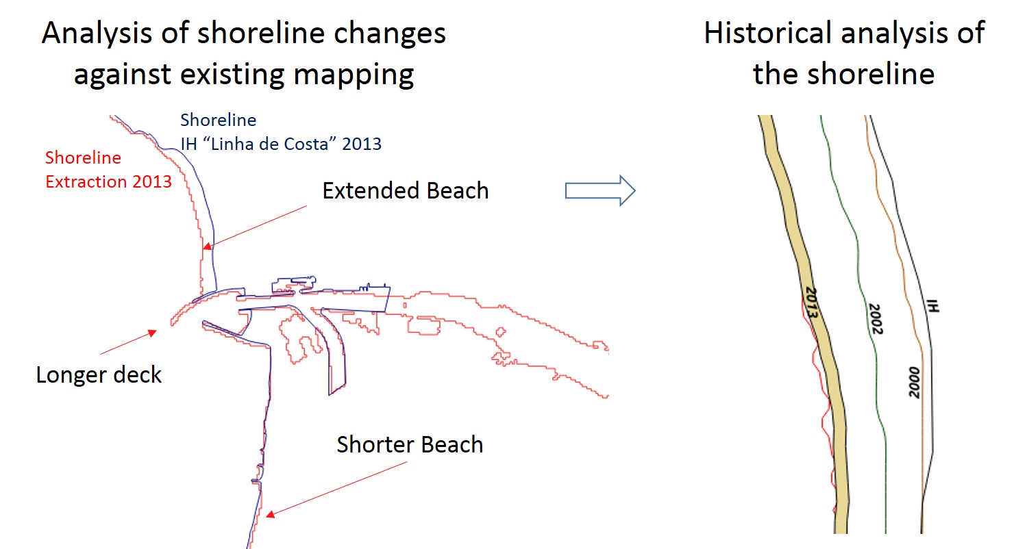
The brief analysis made at Figueira da Foz/Portugal area identified three major incoherences (described in the figure) that suggests existing mapping (namely "Linha de Costa" and CAOP 2013) may require updates.